Road Trippin’ Near Monument Valley
Top 5 Attractions to Add to Your Monument Valley Road Trip Itinerary
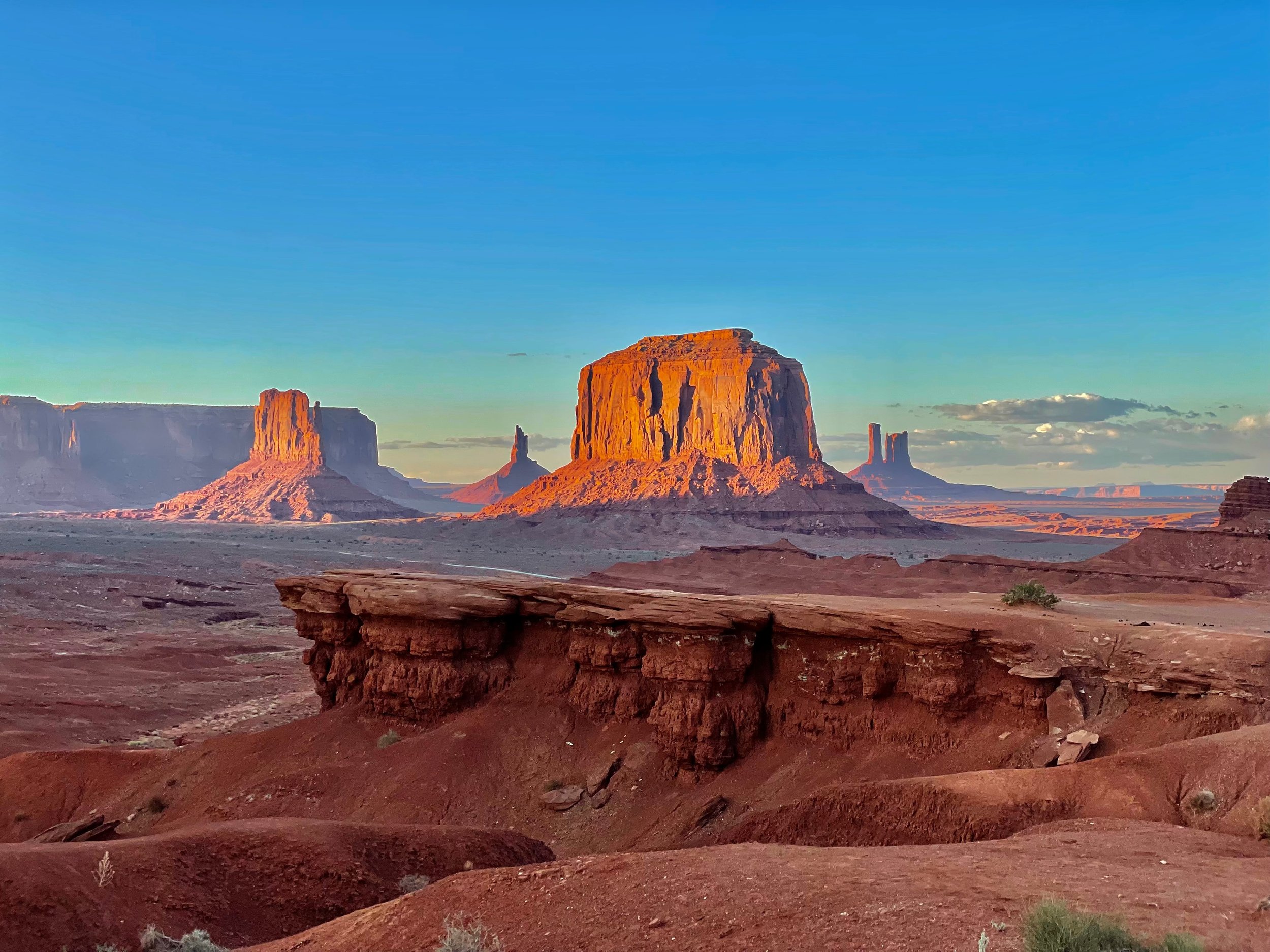
Navajo Nation’s Monument Valley is a sacred Navajo Tribal Park that is an absolute must see. In fact, it is one of the most beautiful and most photographed places on Earth full of endless expanses of breathtaking views and mesas where afternoon billowing clouds cast long shadows across the desert floor lighting its red rock formations on fire.
However, it won’t take long for you to explore the entire park and its 17-mile scenic loop leaving you wondering what else there is to do nearby during your stay. Well, look no further. Here is a list of some incredible destinations to add to your road trip itinerary.
Table of Contents
Horseshoe Bend & Antelope Valley
Located in Page, Arizona, just two hours from Monument Valley, are Horseshoe Bend and Antelope Canyon - two incredible must-sees.
Horseshoe Bend is a horse-shoe shaped bend in the Colorado River often compared to the Grand Canyon. Over the years, the river has carved out a canyon roughly 1,000 feet deep that you can admire from a vantage point located above on tribal land of the Navajo Nation. To give you an idea of its massive size, just check out the person standing on the cliff on the top right of my photo. It’s an absolutely beautiful spot. However, it gets quite crowded. My biggest tip is to go hiking and explore the surrounding area away from the crowds where you can get lost in the silence. As you pass huge boulders, the chatter of the tourists quickly fades away as you lose sight of them.
Visitors who wish to park at Horseshoe Bend will be required to pay a $10 fee per vehicle and the hike to the main viewpoint is a 1.5 mile, heavily trafficked out and back. Although you will be hiking up hill on the way back to your car, the hike is generally pretty easy to do.
Antelope Canyon is one of the most beautiful slot canyons in the American Southwest and is also located on Navajo land.
Photo: Unsplash
There are 5 separate sections of the canyon including Upper Antelope Canyon, Lower Antelope Canyon, Rattle Snake Canyon, Owl Canyon and Mountain Sheep Canyon. The most impressive and widely visited are Upper and Lower. To explore these parts of the canyon, it is necessary to purchase tickets through one of the canyon’s concessionaires. Spots fill up fast so be sure to reserve a spot well in advance.
Note that when people refer to Antelope Canyon, they are typically referring to Upper Antelope Canyon which tends to be the most photogenic full of high walls, light beams shining down and falling sand. It is absolutely spectacular.
South Rim of the Grand Canyon
The South Rim of Grand Canyon National Park is less than 3 hours away from Monument Valley making it a perfect destination to add to your itinerary.
There is literally nothing like the Grand Canyon. As you stand at the edge of the rim, the Earth gives way to an expanse of endless vistas and jaw-dropping, breathtaking views making it one of the most impressive places on Earth. It’s the perfect spot to ponder life and gain perspective on how small and insignificant we truly are in this vast world.
Goosenecks & Valley of the Gods
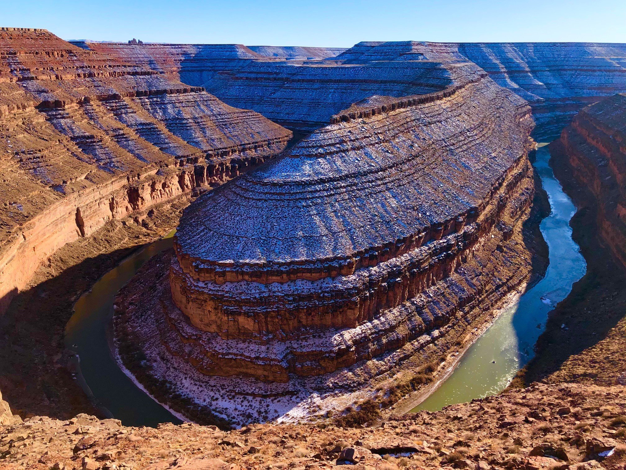
One of my favorite road trips to combine with Monument Valley is the drive out of the park past Forrest Gump Point, past Mexican Hat to Goosenecks State Park then up into Valley of the Gods.
Goosenecks State Park is located near the southern border of Utah just a short distance from Mexican Hat off Highway 163 and UT-316, just over 30 miles from Monument Valley.
There is a campground located here and the view is incredible. However, I recommend just making it a quick stop then heading to Valley of the Gods about 15 miles further down the road.
Valley of the Gods is like a mini-Monument Valley without the crowds. The scenic backcountry drive through the valley with its unique sandstone formations is absolutely breathtaking with numerous spots to pull out and hike.
Natural Bridges Via Moki Dugway
From Valley of the Gods, I recommend continuing up through Moki Dugway making your way to Natural Bridges National Monument.
Moki Dugway is an incredible scenic stretch of Highway 261 that is carved into a hillside with hairpin turns winding up above the valley floor with sweeping expansive views. The road takes you up to the junction with State Route 95 just east of Natural Bridges National Monument making it the quickest and most scenic route from Valley of the Gods to the bridges.
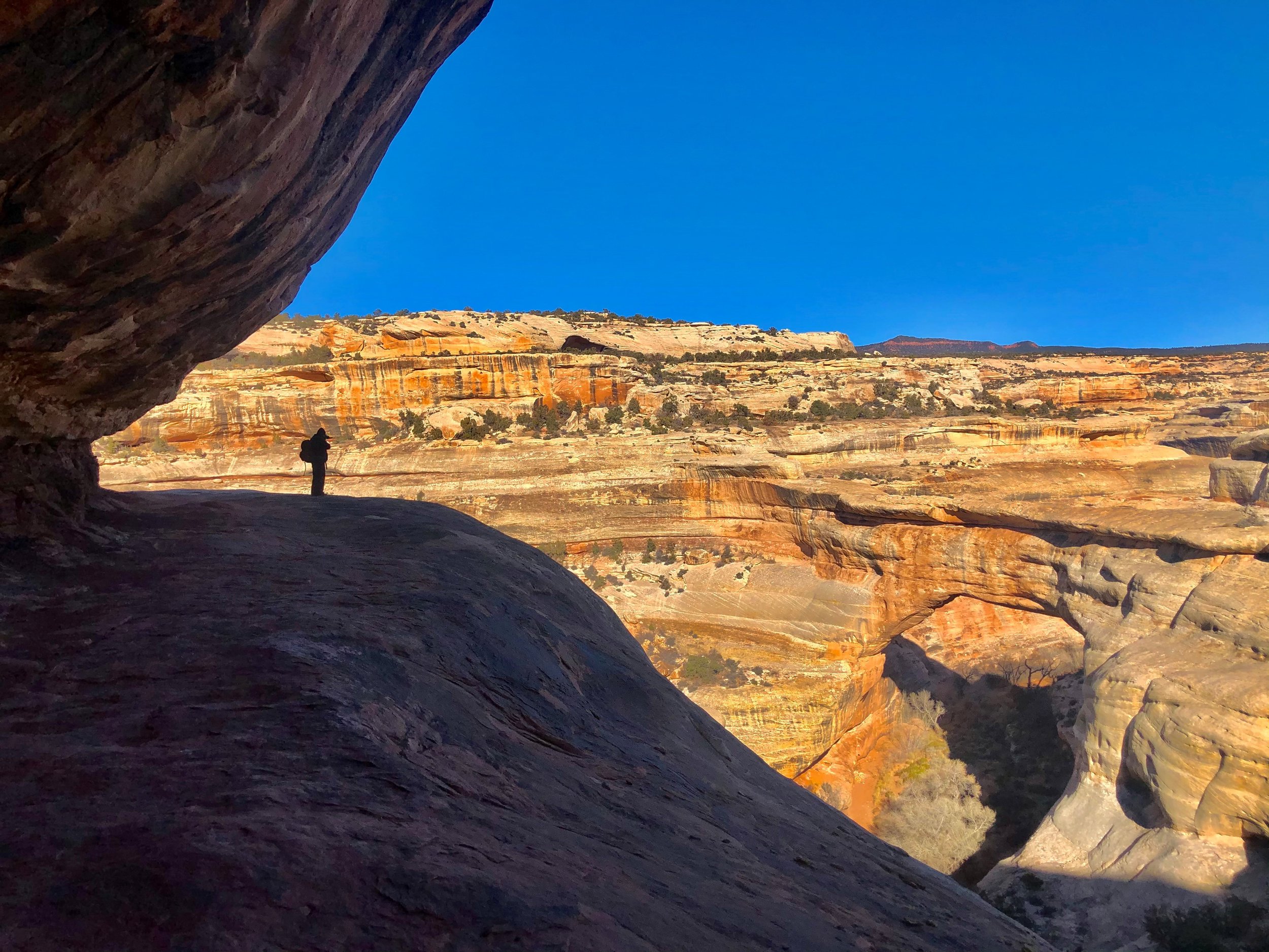
Natural Bridges National Monument is a great area to hike and camp near the Four Corners area. There are three main natural bridges here:
Sipapu Bridge - With a height of 220 feet, spanning 225 feet long, Sipapu is the second largest natural bridge in the United States and the most spectacular of the three bridges. It requires a 1-2 hour hike to reach.
Kachina Bridge - Kachina Bridge is the widest bridge in the park with petroglyphs on its sides that takes 1-2 hours to hike.
Owachomo Bridge - Owachomo Bridge is the most accessible and popular bridge in the park and takes 20-60 minutes to hike. The path is only about a half-mile round trip.
The bridges can each be accessed independently or through the following loops:
Full Loop Trial - The full loop trail winds through the canyon taking you to all three bridges. The hike is about 12 miles long, primitive and strenuous.
Sipapu-Kachina Loop - A primitive and strenuous 5.7 mile loop trail that takes you to both Sipapu Bridge and Kachina Bridge.
Kachina-Owachomo Loop - A primitive and strenuous 6.5 mile loop trail that passes both Kachina Bridge and Owachomo Bridge.
Sunset Crater & Wupatki
Located near Flagstaff, approximately 2-1/2 hours south of Monument Valley, are Sunset Crater Volcano and Wupatki National Monuments.
Sunset Crater Volcano National Monument covers over 3,000 acres of land including Sunset Crater, the youngest in a string of volcanoes related to the nearby San Francisco Peaks. Eruptions here changed the landscape forever tearing open the ground and leaving behind incredibly unique geological formations and lava tubes that you can hike through. The last eruption is believed to have been in 1085.
The drive that takes you through Sunset Crater also leads to Wupatki National Monument, an area rich in Native American archaeological sites nestled between the Painted Desert and the Northern Arizona Highlands.
Wupatki is considered sacred land and includes several pueblo ruins:
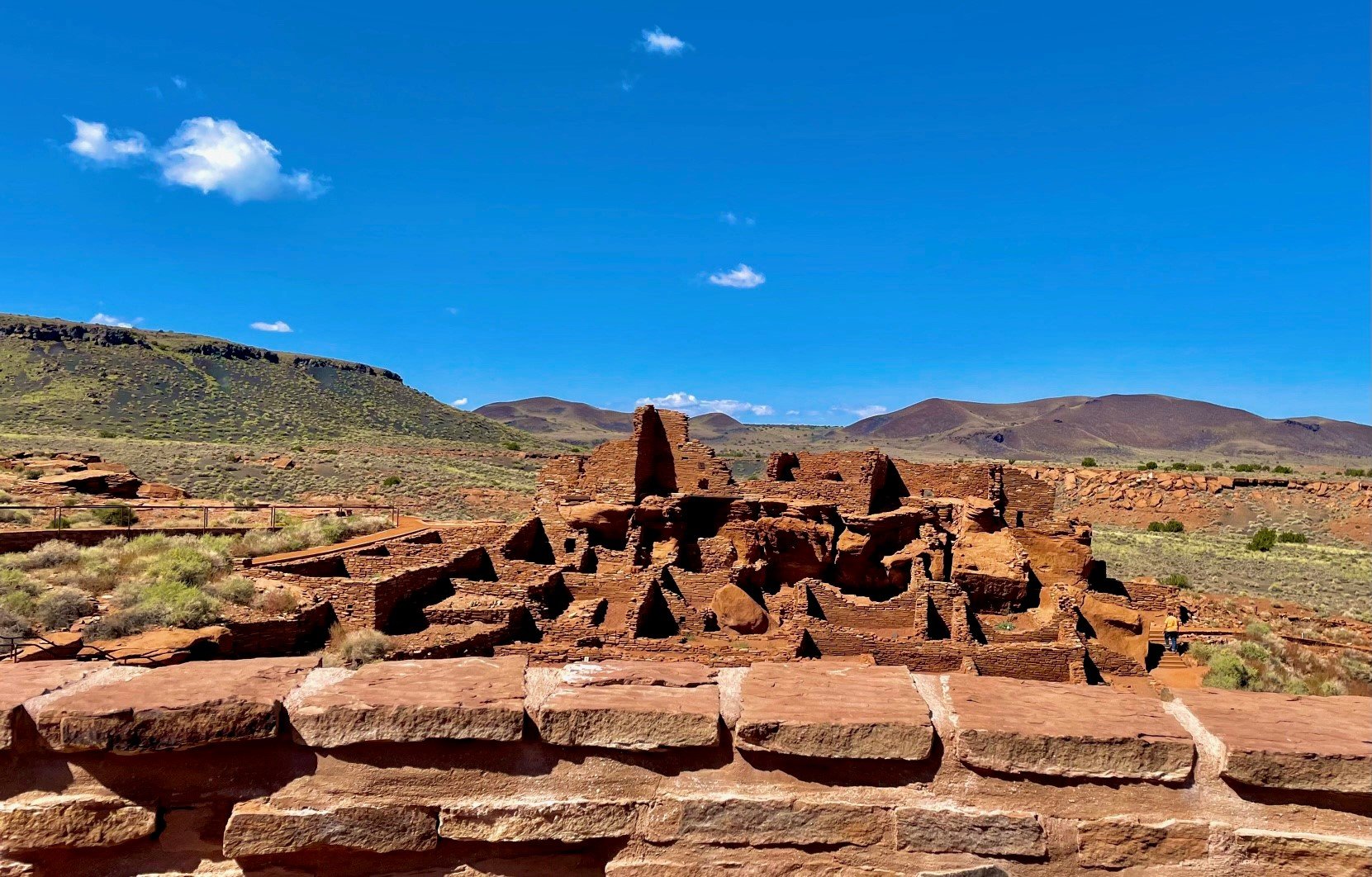
Wupatki Pueblo & Visitor Center - The Wupatki Pueblo is a 900 year old ancestral Puebloan site with over 100 rooms and an incredibly unique blow hole where air flows up and out through the ground. It is the most impressive of the pueblos located here, and the trail to the archaeological ruins is an easy 0.5 mile round trip hike. The Visitor Center is also located here.
Lomaki Pueblo - The Lomaki Pueblo includes three pueblo structures made of local limestone and sandstone that sit atop a hillside on a projecting layer of sandstone above a box canyon. It is a moderate to easy 0.5 mile hike to the ruins.
Wukoki Pueblo - Although small, Wukoki is one of the best preserved pre-historic sites within the park and an easy to moderate, short 0.2 mile roundtrip hike to reach.
Citadel Pueblo - Citadel Pueblo sits on a small cinder hill, its walls built to follow the outline of the hillside and constructed of sandstone and basalt (volcanic rock). It is a quick and easy uphill hike of only 0.2 miles roundtrip to reach the ruins.
Note that the backcountry area of Wupatki is closed to hiking in order to preserve and protect its fragile archaeological sites.
More Monument Valley Guides
Read More About Monument Valley:
Off Grid Living in a Hogan - A Rare Glimpse of Life Within the Monument Valley Tribal Park


