
The Ultimate Guide to Canyonlands National Park
A Maze of Desolate Canyons at the Edge of the Earth
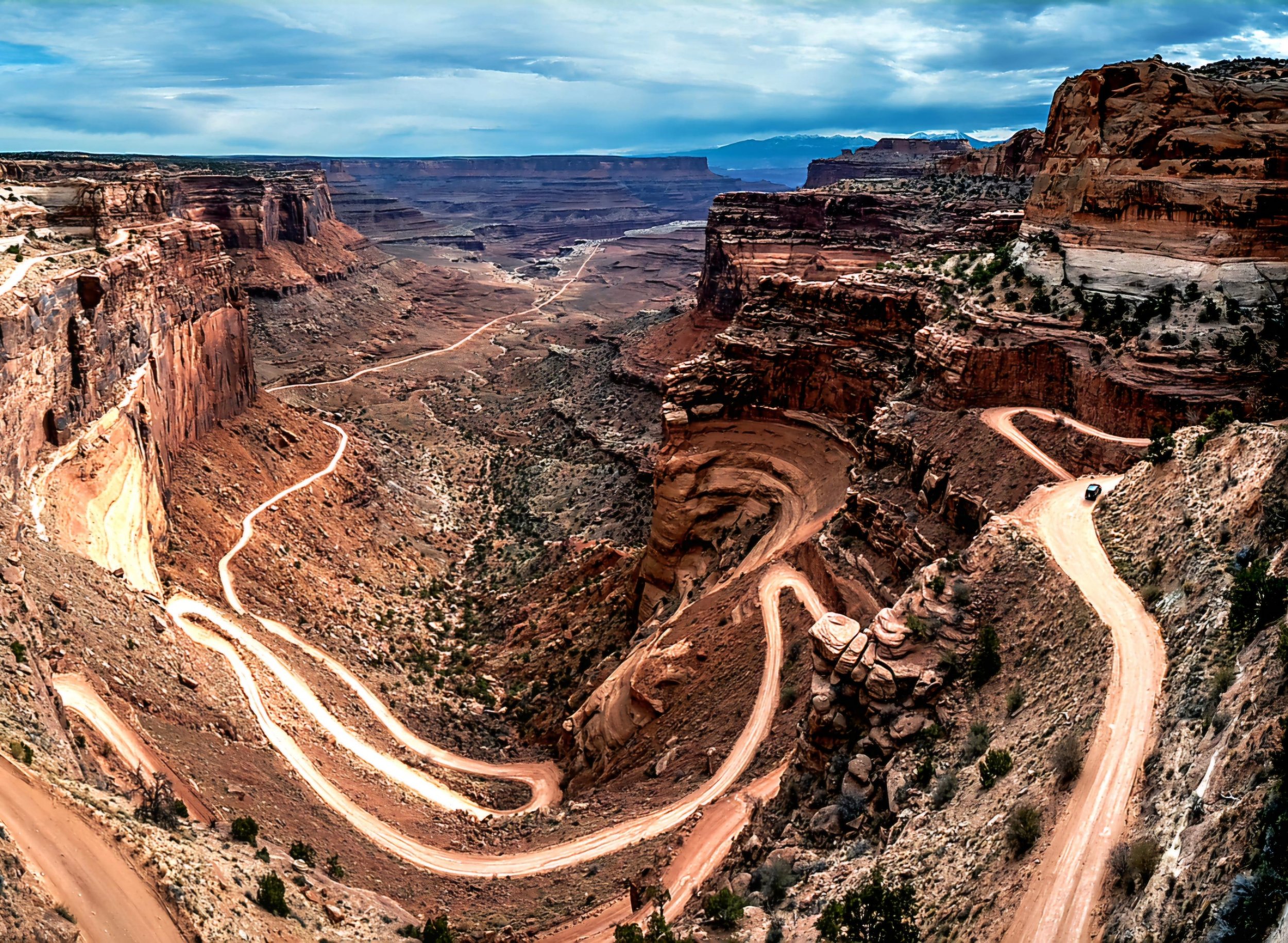
There is no place quite like Canyonlands National Park to make you feel infinitely small and insignificant in this world. It is one of the most remote, desolate national parks in the U.S. covering over 330,000 acres of dramatic desert in southeastern Utah.
Its sandstone walls were carved out by the Colorado River and its tributaries, much like the Grand Canyon, eroded with time leaving behind an Island in the Sky, a flat-topped mesa of panoramic outlooks and miles of maze-like canyons. It’s a red rock paradise of sweeping, jaw-dropping views, wind-swept rocks and plateaus where intersecting rivers have created a geological goldmine. Not to mention, you might even find you have the place all to yourself once you stray from the main road.
A visit to Canyonlands is like coming to the end of the road and stepping into a foreign land - completely unworldly, wild and vast.

Canyonlands is unlike most other national parks in that it is extremely isolated. It requires much more planning than you may be used to. This is not to say you can’t do a quick drive through parts of it, but if you really want to experience all that it has to offer, you need to do your research. Below are some important things to know and consider before going.
👉 Planning a visit? Get my Guide to Choosing Which Canyonlands District You Should Visit complete with side-by-side comparisons of each one.
Canyonlands National Park At a Glance
📍 Location: Southeastern Utah, near Moab
🕒 Time Needed: 1–3 days
⭐ Best District for First-Time Visitors: Island in the Sky
💲 Entrance Fee: $30 per vehicle (7-day pass)
📅 Best Time to Visit: Spring and Fall
🥾 Best For: Hiking, scenic overlooks, photography, stargazing & backcountry adventures
🚗 4WD Required? No for most visitors. Yes for backcountry roads
🐶 Dogs Allowed: Yes, in developed areas only (not on hiking trails)
📱 Cell Service: Limited to nonexistent
⛽ Fuel Available in the Park: No
💧 Water Available: Only at the Island in the Sky & Needles Visitor Centers
💡IMPORTANT TO KNOW: Canyonlands is divided into four separate districts that are NOT connected by roads inside the park, and each offers a completely different experience.
Table of Contents
Know Before You Go - Entrance Fees, Passes, Permits & Best Time to Visit
Nearby Attractions - Newspaper Rock, Dead Horse Point State Park, Arches & Moab
Brief History of Canyonlands
On September 12, 1964, President Lyndon B. Johnson signed Public Law 85-890 establishing Canyonlands National Park. Originally, the park covered about 257,000 acres but with the addition of the Horseshoe Canyon Annex in 1971, it grew to over 330,000.
The vast canyons making up the park were carved out by the Green and Colorado Rivers and their tributaries which exposed layers of buried sediment that slowly began eroding away leaving behind the incredible mesas, pinnacles, flats, buttes and spires that cover its current landscape. It’s a true geological gold mine.
Know Before You Go - Entrance Fees, Passes, Permits, and Best Time to Visit
Operating Hours & Park Passes
Canyonlands National Park is generally open 24 hours a day, 365 days a year. While the park itself never closes, visitor centers operate on seasonal hours and some facilities close during the winter.
2026 Entrance Fees (subject to change) are as follows:
🚗 Private Vehicle: $30 (valid for 7 consecutive days)
🏍️ Motorcycle: $25
🚶 Pedestrian or Bicycle: $15 per person (ages 16 and older)
👉 Note that Canyonlands does not require timed entry reservations like other nearby national parks in Utah.
👉 2026 introduced a separate pricing structure for many non-U.S. visitors, but Canyonlands is not one of the 11 parks affected by the new $100 nonresident surcharge.

If you're planning to visit multiple national parks or federal recreation sites during your trip, one of these annual or lifetime passes may save you money:
America the Beautiful Annual Pass – Includes unlimited admission for one year to more than 2,000 federal recreation sites, including all U.S. national parks, national forests, national monuments, and wildlife refuges. $80
Southeast Utah Parks Annual Pass - Includes Arches National Park, Canyonlands, Natural Bridges NM, Hovenweep NM. $55
Military Annual Pass - Free
Every Kid Outdoors Pass (4th Grade Pass) – An annual national park pass available to every 4th grader in the country for the entire family. Free
Senior Lifetime Pass (62 and older) - $80
Senior Annual Pass (62 and older) - $20
Access Pass (Permanent Disability) - Free
Backcountry & Other Permits
Much of Canyonlands is rugged, undeveloped backcountry. All overnight trips require a backcountry permit, and permits for popular areas can be extremely competitive during peak season, especially in the spring and fall.

Reservations are not required, but they are strongly recommended and can be made through Recreation.gov beginning four months before each season starts. I highly recommend booking your permit as soon as reservations open, especially if you’re hoping to backpack in The Needles or drive the White Rim Road during spring or fall.
📅 Backcountry Permit Reservation Schedule
| Season | Permit Dates | Reservations Open |
|---|---|---|
| 🌸 Spring | March 10–June 9 | November 10 |
| ☀️ Summer | June 10–September 9 | February 10 |
| 🍂 Fall | September 10–December 9 | May 10 |
| ❄️ Winter | December 10–March 9 | August 10 |
Permit dates and reservation windows are subject to change. Always verify the latest information on Recreation.gov before your trip.
Weather & Best Time to Visit
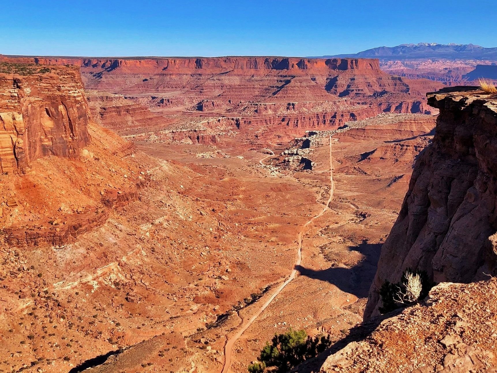
Canyonlands is considered a high desert, meaning temperatures can change dramatically between day and night—sometimes by as much as 40°F in a single day. No matter what time of year you visit, it's a good idea to pack layers and check the forecast before heading into the park.
📅 Best Time to Visit: Spring & Fall
❄️ Winter (December–February)
Winter in Canyonlands can be surprisingly cold. Daytime highs often remain below 50°F, while overnight temperatures can drop near 0°F. Although snowfall is relatively uncommon, it creates a stunning contrast against the park's red rock landscape. Keep in mind that even light snow or ice can make roads and hiking trails hazardous, so always check current road conditions before your visit.
☀️ Summer (June–August)
Summer temperatures frequently climb above 100°F, especially in lower elevations. Afternoon monsoon storms can also develop quickly, bringing lightning and dangerous flash flooding. If you're visiting during the summer, start hiking early in the morning, carry plenty of water, avoid strenuous activity during the hottest part of the day, and stay out of slot canyons or other flood-prone areas whenever storms are in the forecast.
🍂 Spring & Fall (Best Time to Visit)
For most visitors, spring and fall are the best times to explore Canyonlands National Park. From April through May and September through October, daytime temperatures typically range from 60–80°F, while nighttime lows average 30–50°F. Comfortable temperatures, clear skies, and ideal hiking conditions make these seasons the park's busiest—and most beautiful—times of year.
💡 Pro Tip: No matter when you visit, carry more water than you think you'll need. Canyonlands' dry desert air and higher elevation can cause dehydration much faster than you might expect.
Tips for Visiting Canyonlands
Canyonlands is unlike most other national parks in that it is very isolated and extremely vast. It requires much more planning than most. This is not to say you can’t do a quick visit and drive through parts of it, but if you really want to spend some time there, you will definitely want to do your research. Below are some important things to know and consider before going.
4-Wheel Drive & Road Conditions

Most of Canyonlands is inaccessible without a high clearance, low range, four-wheel drive vehicle. Many roads are considered extremely technical to navigate and may experience flooding, snow, ice, deep sand, ledges and rock falls. Road conditions can change quickly and unexpectedly. Back country roads with obstructions and hazards may take maintenance hours if not days to clear. Often times, chains and winches become necessary.
Roads requiring 4WD include: Elephant Hill, Salt Creek, Horse Creek, Davis Canyon, Lavender Canyon, Colorado Overlook, and the White Rim.
Water, Fuel & Cell Service
Canyonlands is rugged, remote, and extremely dry, so it’s important to arrive prepared.
💧 Water is very limited inside the park and is generally only available at the Island in the Sky Visitor Center and Needles Visitor Center. There is no water available elsewhere in the park, including many trailheads, overlooks, campgrounds, and ranger stations. This is especially important in summer when temperatures can easily climb above 100°F. Bring more water than you think you’ll need, especially if you plan to hike, bike, drive backcountry roads, or spend several hours exploring away from your vehicle.
⛽ Fuel is also not available inside Canyonlands National Park. Be sure to fill up before entering the park, especially if you plan to visit The Needles, drive any backcountry roads, or explore more than one district in a single trip.
📶 Cell service is unreliable throughout much of Canyonlands and may be completely unavailable in remote areas. Download maps in advance, save directions before you lose service, and never rely solely on your phone for navigation. If you plan to explore backcountry roads or remote trails, consider carrying a paper map, GPS device, or satellite communicator.
💡 Pro Tip: Before entering the park, be sure you have a full tank of gas, plenty of water, downloaded maps, and have a realistic plan for how much driving and hiking you’ll be doing. Preparation is key.
Where to Stay in Canyonlands
Campgrounds Inside the Park
There are 2 campgrounds inside Canyonlands National Park including the following:
Island in the Sky (Willow Flat) Campground – 12 individual sites. First come, first serve. Open year round near the spectacular Green River Overlook. Toilets, picnic tables, fire rings. No water.
The Needles Campground – 26 individual sites and 3 group sites. You can reserve some sites in spring and fall. Other times of year, they are first come, first serve. Group sites can be reserved mid-March to mid-November. Toilets, picnic tables, fire rings.
Campgrounds Outside the Park (BLM, Dead Horse Point & Backcountry)
Highways 211 & 128 Campgrounds

Highway 211 Campgrounds – Creek Pasture Campground, Hamburger Rock Campground, Superbowl Campground (including group sites)
BLM Campgrounds
The Bureau of Land Management (BLM) manages numerous campgrounds and dispersed camping areas near Canyonlands National Park. If you're looking to save money, dispersed camping on designated BLM land is often free and does not require reservations.
For those who prefer a few basic amenities, several developed BLM campgrounds are also available nearby for a small nightly fee. Keep in mind that dispersed camping is primitive - no water, restrooms, or trash service. You'll need to be completely self-sufficient and pack out everything you bring in.
💡 Pro Tip: If you plan to camp on BLM land during spring or fall, arrive early in the day. Popular camping areas around Moab often fill up quickly during peak season.
Backcountry Camping
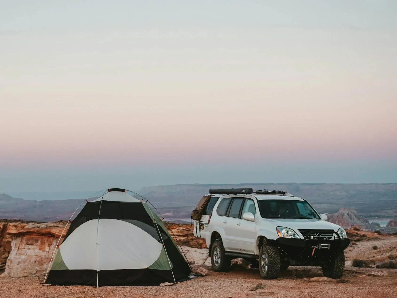
For those looking to escape the crowds, Canyonlands offers some of the most spectacular backcountry camping in the Southwest.
Whether you're backpacking through remote canyons, exploring rugged 4-wheel drive back roads, embarking on a multi-day river trip, or bikepacking the famous White Rim Road, there are hundreds of miles of trails and backcountry routes just waiting to be explored.
Designated backcountry campsites are located throughout the park, but all overnight backcountry trips require a permit. Because permits for popular routes and campsites can sell out quickly during the spring and fall, it's best to reserve them as soon as they become available.
💡 Pro Tip: Backcountry campsites are primitive and do not provide water, restrooms, or other services. Plan ahead, carry plenty of water, and practice Leave No Trace principles to help preserve this incredible wilderness.
Dead Horse State Park Camping

Located just minutes from the Island in the Sky district of Canyonlands National Park, Dead Horse Point State Park is one of the best places to camp in the area.
The park offers two developed campgrounds—Kayenta Campground and Wingate Campground—along with the unique Moenkopi Yurts, which provide a comfortable glamping experience with spectacular desert views. Campsites and yurts are extremely popular, especially during the spring and fall, so reservations should be made well in advance.
👉 Pro Tip on Camping: A great way to find campgrounds, especially when offline, is to download the Dyrt PRO, probably the largest campground search platform around with reviews and tips.
Hotels Near Canyonlands
The closest towns to Canyonlands National Park with hotels and vacation rentals are Moab and Monticello.
🏨 Moab
Moab is located about 30–40 minutes from the Island in the Sky district and is the most popular city to stay in when exploring Canyonlands. You'll find everything from budget motels and nationally recognized hotel chains to luxury resorts, boutique hotels, vacation rentals, campgrounds, restaurants, outfitters, and grocery stores. It's also the perfect home base if you plan to visit Arches National Park, Dead Horse Point State Park, and other nearby attractions during the same trip.
🏨 Monticello
If you're planning to explore The Needles district, Monticello is a quieter alternative. Located about 50 minutes from the park entrance, it offers fewer lodging options than Moab but you can still find several hotels, motels, vacation rentals, restaurants, and essential services.
💡 Pro Tip: If you're visiting during the spring or fall, book your accommodations early. Moab is one of Utah's most popular outdoor destinations and hotels often sell out months ahead of time during peak season.
Regions of Canyonlands National Park
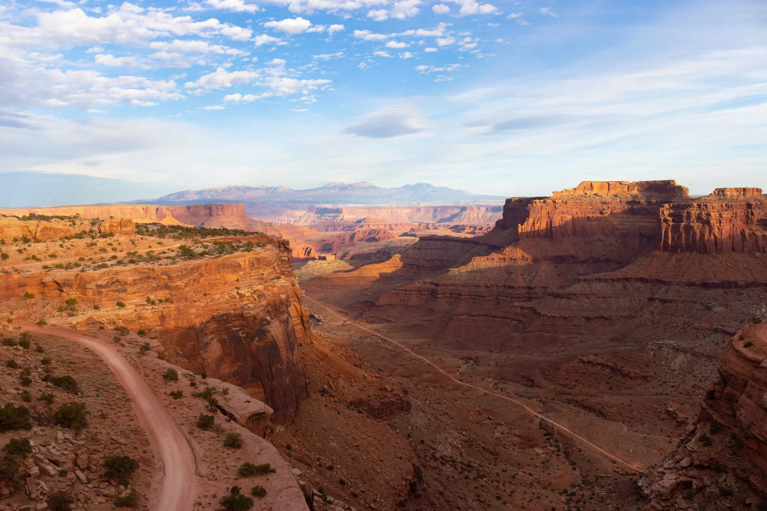
Canyonlands is so vast that it’s divided into distinct districts - Island in the Sky, The Needles, The Maze, Horseshoe Canyon Unit and the rivers that divide them.
It literally takes hours traveling between the districts so unless you have unlimited time, you may want to consider focusing solely on one district for each visit to the park. Despite their proximity as a crow flies, there are no roads directly linking the districts together. It can take 2-6 hours by car traveling between them with limited spots that allow river crossing.
✨ Pro Tip: Unless you have unlimited time, consider focusing on only one district for each visit to the park.
Which District is Right for You?
Not sure which area of Canyonlands National Park to visit? Each of the park's four districts offers a completely different experience. Here's a quick guide to help you choose the one that's right for your trip.
⭐ First-time visitors: Island in the Sky
🥾 Best hiking: The Needles
🚙 Best 4WD adventures: The Maze
🪨 Ancient rock art: Horseshoe Canyon
🌅 Best scenic overlooks: Island in the Sky
🌌 Best stargazing: The Maze or The Needles
📸 Best photography: Island in the Sky
👉 Still not sure which district to visit? Get my complete Guide to Choosing Which Canyonlands District You Should Visit with a much more in depth comparison.
Island in the Sky
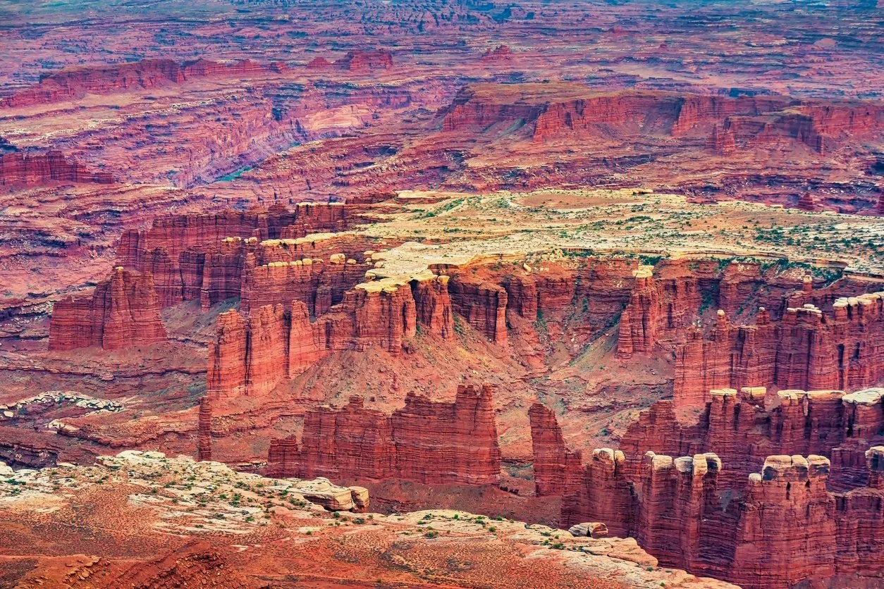
Island in the Sky mesa sits atop 1,000-foot-tall sandstone cliffs overlooking the valley below. There are numerous scenic outlooks along the island, each offering unique perspectives of the picturesque canyons carved out below.
This is the most accessible area of the park and the closest to Moab. Most of it is accessible without 4-wheel drive including paved scenic roads with pull outs. It’s a perfect spot for a day trip and short hikes if you have limited time. Below are the best things to do at Island in the Sky.
Island in the Sky Visitor Center

Island in the Sky Visitor Center and Natural History Association bookstore offers exhibits, publications, park information and an orientation video. You can also pick up permits here for the backcountry. This is one of the few spots that has water.
Grand View Point Overlook
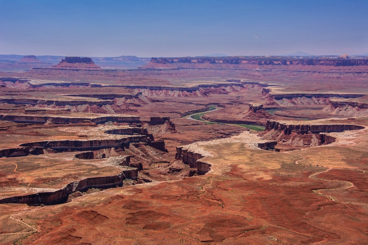
Have you ever stood at the edge of the ocean feeling ever so small in this vast universe of ours? A hike to Grand View Point Overlook will magnify that feeling times ten. The overlook sits at the end of a mile-long sandstone staircase offering panoramic views of red rock spires against azure skies. It is at the southernmost point of the island with sweeping views of distant mountains, basins and canyons as well as White Rim Road.
From the Island of the Sky Visitor Center, drive south 12 miles to the end of the road. From the parking lot, you can walk along the 100-yard trail to the first viewpoint if you’re looking for an easy hike. From here, an unpaved trail takes you out another mile down stairs to the cliff’s edge to a second viewpoint.
From spring to fall, you can take a ranger led hike and learn about the area’s geology.
Mesa Arch

Mesa Arch sits right on the edge of a 500-foot cliff with vast canyon views. The La Sal Mountains off in the distance provide a magnificent backdrop. It’s quite popular at dawn as the sun rises on the horizon behind the arch lighting up the red sandstone in golden tones.
The parking lot for the Mesa Arch Trail is 6.3 miles south of the Island in the Sky Visitor Center, before Upheaval Dome Road.
💡Pro Tips: Do not walk or climb on the arch. It is strictly prohibited. This is a great hike for kids but the parking lot fills up quickly especially at sunrise
Shafer Trail
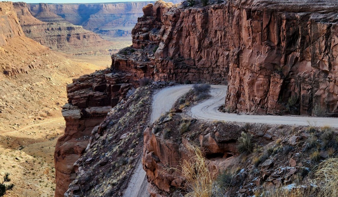
If you’re traveling through Canyonlands in a 4WD vehicle or mountain biking, Shafer Trail is an incredible unpaved backcountry road that will leave you in awe and provide opportunities to see wildlife. If not, you will still want to travel to the turn off to get a great view of the iconic route as it winds down 1,500 feet of colorful sandstone walls along a massive cliff.
It was named after the Shafer family, early Mormon settlers who moved cattle down this route to lower elevation to escape the harsh winters. However, it was actually first used by Native Americans to reach the mesa, followed by sheep herders moving flocks to better pastures. It was even used at one point to transport uranium-bearing rock to market. Today it’s a fun challenging road for thrill seekers.
The 19.6 mile road starts 0.9 miles past the Visitor Center and is moderately trafficked. 4WD and low range gear (4LO) is strongly recommended as the road can be quite treacherous. Speed limit is 15 mph, seatbelts are mandatory and uphill traffic has the right of way.
The Needles
The Needlesis an area of incredibly beautiful backcountry but to reach its hidden gemstones, you will need 4-wheel drive or a boat to access it. Hiking in this District is also more strenuous than other areas of the park.
The Needles is renowned for its incredible pinnacles and pictographs and a perfect area for backpacking. Below are some highlights of things to do here.
⚠️ ALERT: As of 6/28/26 (updated 6/30/26) Canyonlands National Park has temporarily closed The Needles district to all uses, including the backcountry, until further notice due to the Babylon Fire near Blanding, Utah.
Lavendar Canyon
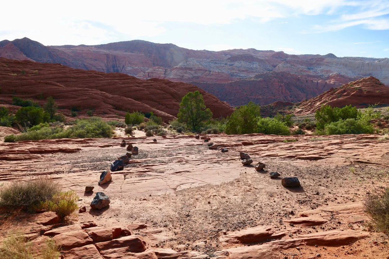
The road through Lavender Canyon follows the canyon bottom and is full of deep sand, deep water and quicksand. If you have the vehicle to navigate it, the hazards are worth exploring this incredible area as there are a wealth of arches and archaeological sites to see, some of which can be seen right off the road.
The road is usually too sandy for mountain bikes and includes two major creek crossings with steep banks. A permit is required even for day use.
Interestingly enough, you will find no lavender fields growing here despite its name.
Elephant Hill Trail

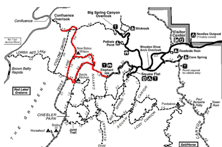
Elephant Hill is probably the most technical four-wheel drive road in all of Utah. The road is full of steep grades, loose gravel, stair-step drops and hairpin turns. It’s quite tricky to maneuver.
The trail is about 14.5 miles long. Maximum vehicle length including racks is 21 feet and 4WD is mandatory. There is no water at any of the campsites nearby and it gets very hot in summer so bring plenty of fluids. A backcountry permit is required even for day use.
The Maze
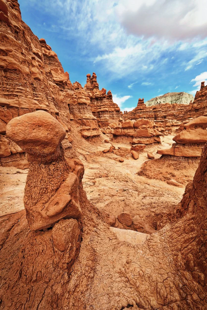
The Maze is an extremely isolated area of the park to the west of the Green River. It is a haven for remote backpacking, strenuous hiking and off roading. It is the least accessible district of Canyonlands and receives the fewest visitors.
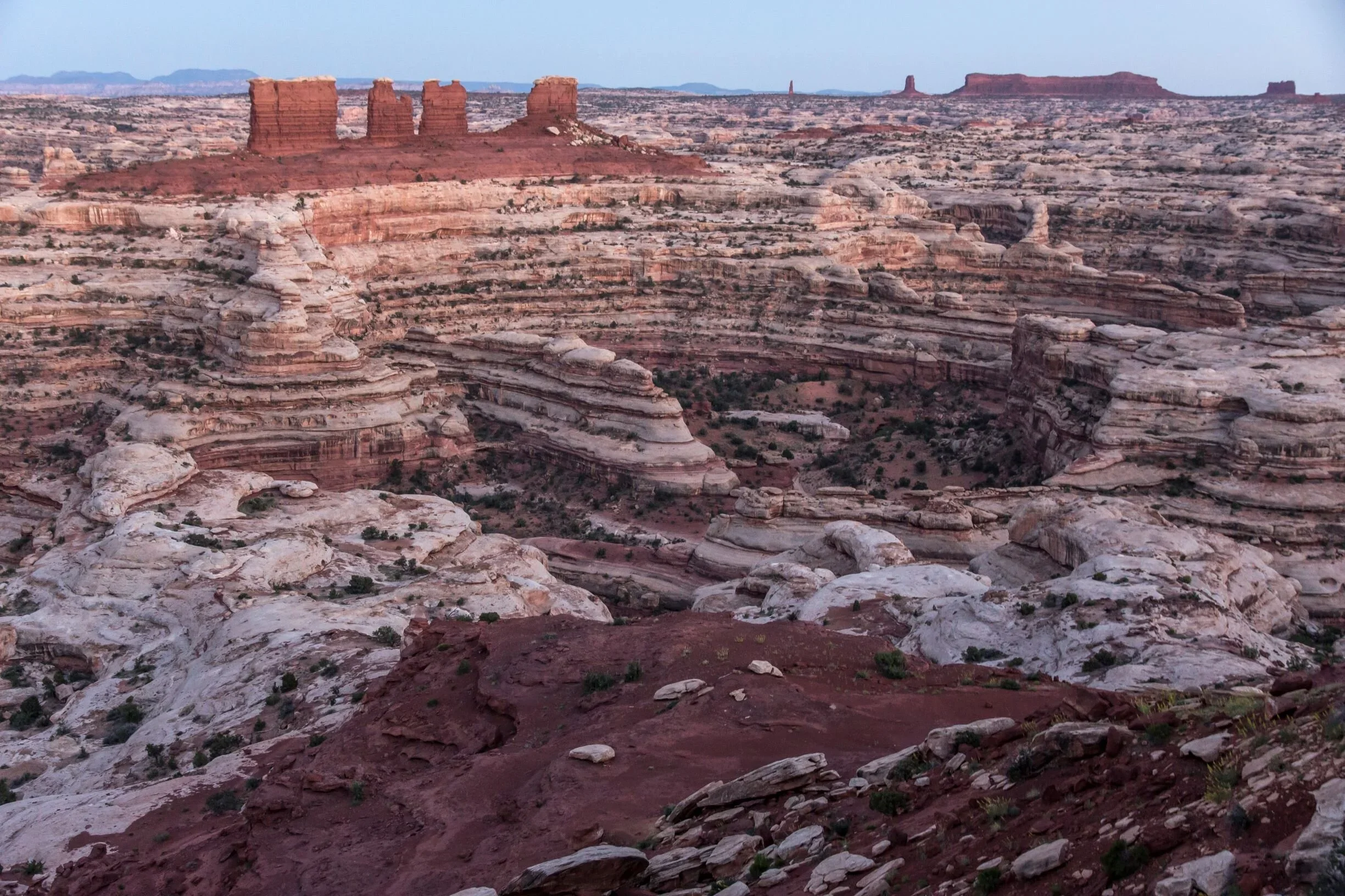
The Maze itself is 30 square miles of sheer 600-foot walled canyons that wind about, twisting and dividing back upon themselves that can only be explored by foot. This slew of interwoven canyons often lead to dead ends referred to as a “30-mile puzzle in sandstone.”
Like many areas of Canyonlands, GPS often leads one astray, so be sure to take a topographical map of the area so you don’t get lost. It can literally take rescuers up to 3 days to reach hikers in an emergency here so this is not the area for the faint of heart, ill-prepared or amateur hiker. It is that remote.
Maze Overlook Trail
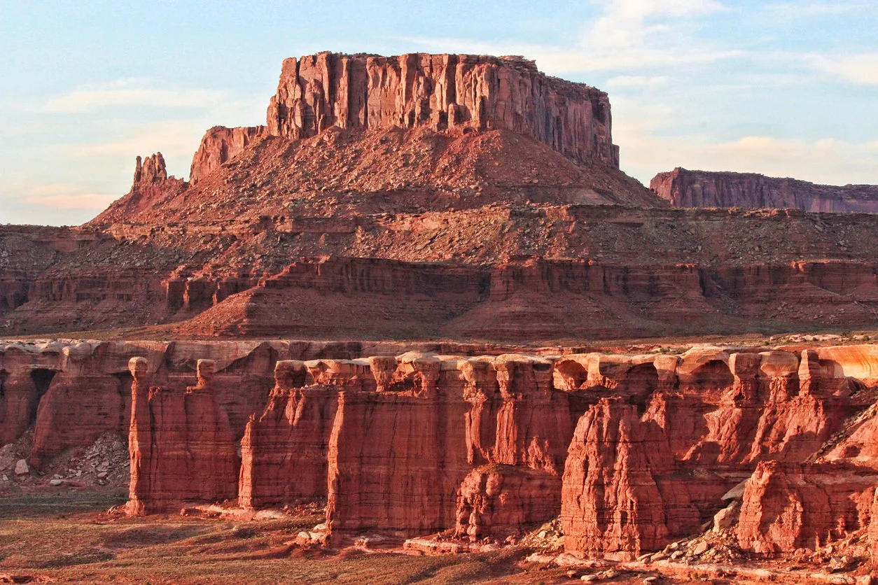
The Maze Overlook Trail is a very remote 8-mile, moderately trafficked trail of massive sandstone fins, ruby red canyons with views of the Green and Colorado Rivers converging and incredible petroglyphs.
It requires a 6-hour 4WD journey just to reach the trailhead which then takes you along steep exposed rocks and pour-offs. Basic climbing maneuvers, scrambling and rope to navigate are necessary when visiting. Cairns are not always reliable, often times not easily marking the trail, and many spots look alike. Be sure to bring a topographical map and plenty of water which is extremely scarce here.
💡Pro Tip: Plan ahead and bring plenty of water when visiting The Maze. Just getting to the trail head is a 6-hour, 4WD journey.
Horseshoe Canyon
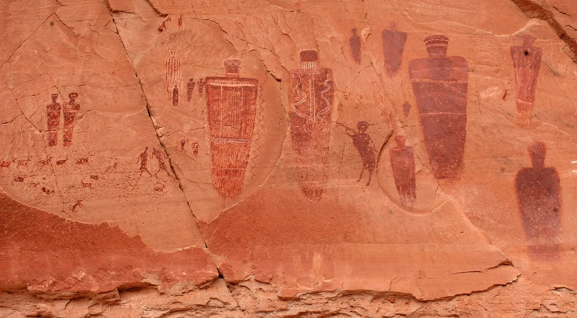
Horseshoe Canyon is best known for its significant archaic rock art, probably some of the most intricate, well-preserved designs in all of North America. Two-wheel drive vehicles can usually make it to Horseshoe Canyon but do not rely on GPS. Maps are a necessity.
Great Gallery at Horseshoe Canyon
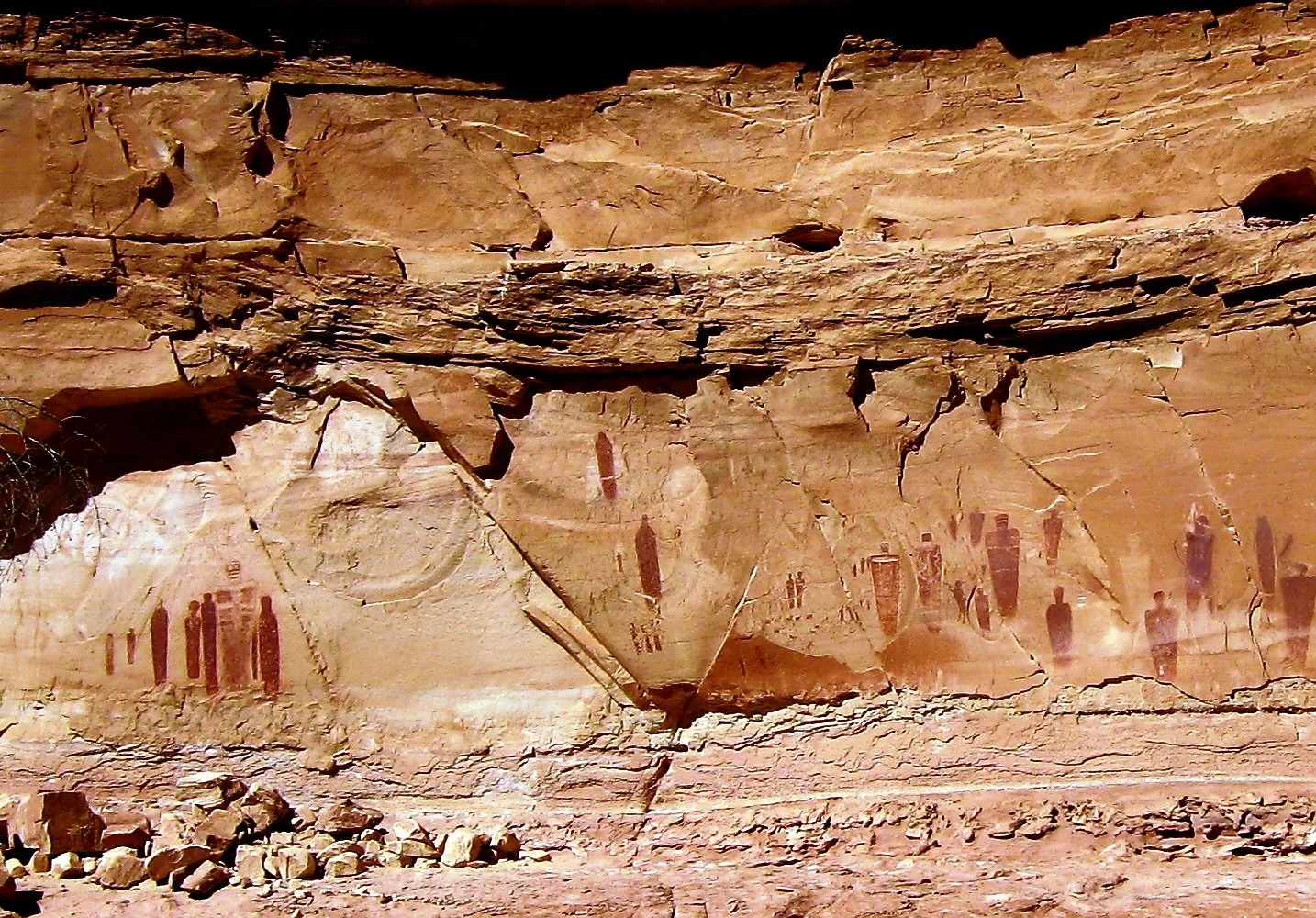
The Great Gallery is the best known and most spectacular panel of both Barrier Canyon style pictographs and petroglyphs in Horseshoe Canyon. At over 200 feet long, the extensive panel is extremely well-preserved containing life-size figures with intricate designs believed to be 1,500-4,000 years old.
The hike is approximately 7 mile long, accessible year round. There is a steep descent of almost 800 feet at the beginning of the trail so be prepared to hike back up it at the end. It is recommended that you take at least a gallon of water per person.
You can camp at the west rim trailhead on BLM land here but camping within the park boundary is prohibited.
The Rivers of Canyonlands
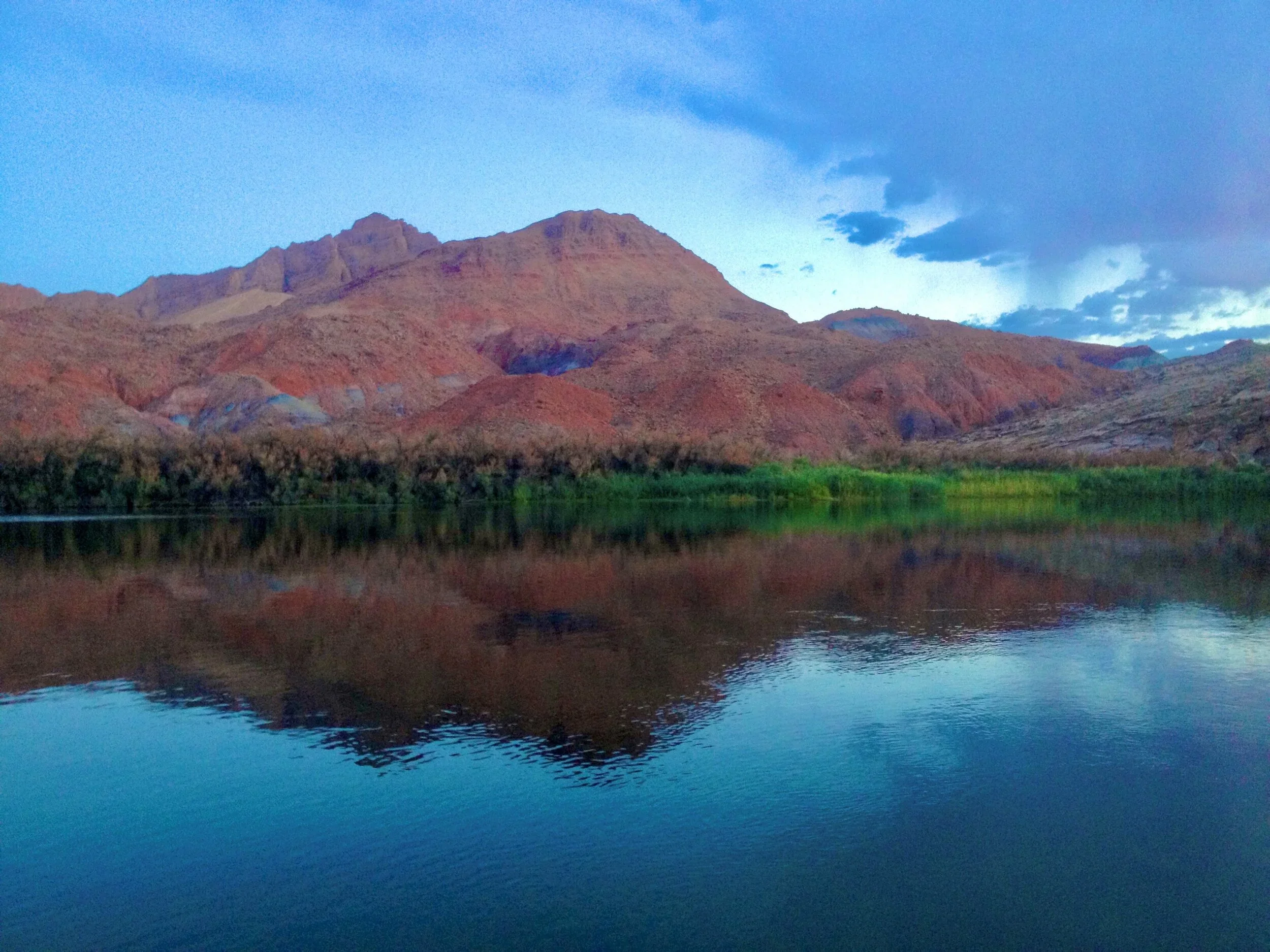
Looking to explore the rivers of Canyonlands? The Colorado and Green Rivers wind through the heart of Canyonlands, often hidden from view by the complex contours of the unique landscape and not easily accessible.
To launch on the Colorado from here, boaters can use the Potash or Moab ramps. To launch on the Green River, boaters can use Green River State Park, Ruby Ranch (call 435-564-3633) or Mineral Bottom ramps. There is no vehicle access near the Confluence or in Cataract Canyon.
To book river rafting tours, a great place to start is through the National Park Service’s Commercial Guides list.
Nearby Attractions to Canyonlands
If you’re visiting, don't stop with Canyonlands!
Southeastern Utah is packed with incredible scenery, fascinating history, and unforgettable adventures. KThese nearby attractions pair perfectly with a visit to the national park and are easy to include on the same road trip:
📍 Newspaper Rock - One of the largest petroglyph sites in the United States lcoated just 20 minutes from Canyonlands Needles District.
📍 Dead Horse Point State Park - Home to one of the most breathtaking overlooks in the American Southwest perched 2,000 feet above the Colorado River.
📍Arches National Park- The densest concentration of natural stone arches in the world.
📍 Moab - Known as the adventure capital of Utah. Moab is the gateway to both Arches and Canyonlands National Parks and a great place for river rafting, jeep tours, mountain biking, and canyoneering.
Frequently Asked Questions
Is Canyonlands National Park worth visiting?
Canyonlands is absolutley worth a visit. It’s one of Utah's most spectacular national parks offering dramatic canyons, towering mesas, ancient rock art, scenic overlooks, and world-class hiking. It receives fewer visitors than nearby Arches National Park making its vast landscapes quiet and peaceful and perhaps more impressive.
How much time do you need in Canyonlands National Park?
At a minimum, plan to spend at least one full day exploring the Island in the Sky district. If you plan to visit The Needles or you want to take longer hikes and scenic drives, plan to spend at least 2-3 days. If backcountry camping, plan to spend at least 3-5 days.
What is the best district to visit if you have limited time in Canyonlands National Park?
Island in the Sky is the best district to visit if you have limited time or are new to Canyonlands. It is the most popular district and easy to access offering breathtaking overlooks, short hikes, and easy access from Moab.
👉 Still trying to decide which district to visit? Get my complete Guide to Choosing Which Canyonlands District You Should Visit with a much more in depth comparison.
Is Canyonlands better than Arches National Park?
I prefer Canyonlands but it’s impossible to compare the two as each park offers a completely different experience. Arches is famous for its incredible sandstone arches and short scenic hikes, while Canyonlands is known for its vast canyon vistas, remote wilderness, and rugged landscapes. If time allows, I highly recommend visiting both.
Do you need a reservation to enter Canyonlands National Park?
Canyonlands National Park does not require timed-entry reservations. However, backcountry camping permits and certain day-use permits for roads like the White Rim Road and Elephant Hill are required.
Can you drive through Canyonlands National Park?
No. Canyonlands is divided into 4 separate districts that are not connected by roads inside the park. To travel between the districts, you have to return to surrounding highways to manuever your way between them.
Is Canyonlands National Park dog friendly?
Dogs are allowed in developed areas, campgrounds, picnic areas, and paved roads. Dogs are not permitted on the hiking trail, any of the overlooks beyond the developed parts, or in the backcountry.
What do I need to bring when visiting Canyonlands National Park?
Be sure to bring plenty of water, snacks, sunscreen, sturdy hiking shoes, a hat, layers for changing temperatures, and a downloaded map or GPS as cell service is almost non-existent within the park. Fuel, water, and cell service are extremely limited in the park.
What is the best time of year to visit Canyonlands?
Spring (April–May) and fall (September–October) are considered the best times to visit when temperatures are mild and better for hiking. Winters get very cold with occasional snow and summers can be sweltering hot.
Can you visit Canyonlands and Arches in the same trip?
Yes! Both Arches and Canyonlands National Parks are located near Moab and are easy to visit during the same trip although you will want at least one full day at each one. You should also consider adding Dead Horse Point State Park and Newspaper Rock to your itinerary if you have time.
Canyonlands Resources
Guide to Choosing Which Canyonlands District You Should Visit
Island in the Sky Trails and Roads Map
The Maze Trail and Road Map
Horseshoe Canyon Info and Map
The Needles Trails and Roads Map
More Utah National Park Guides
👉 Visiting Canyonlands? Get my complete Guide to Choosing Which Canyonlands District You Should Visit
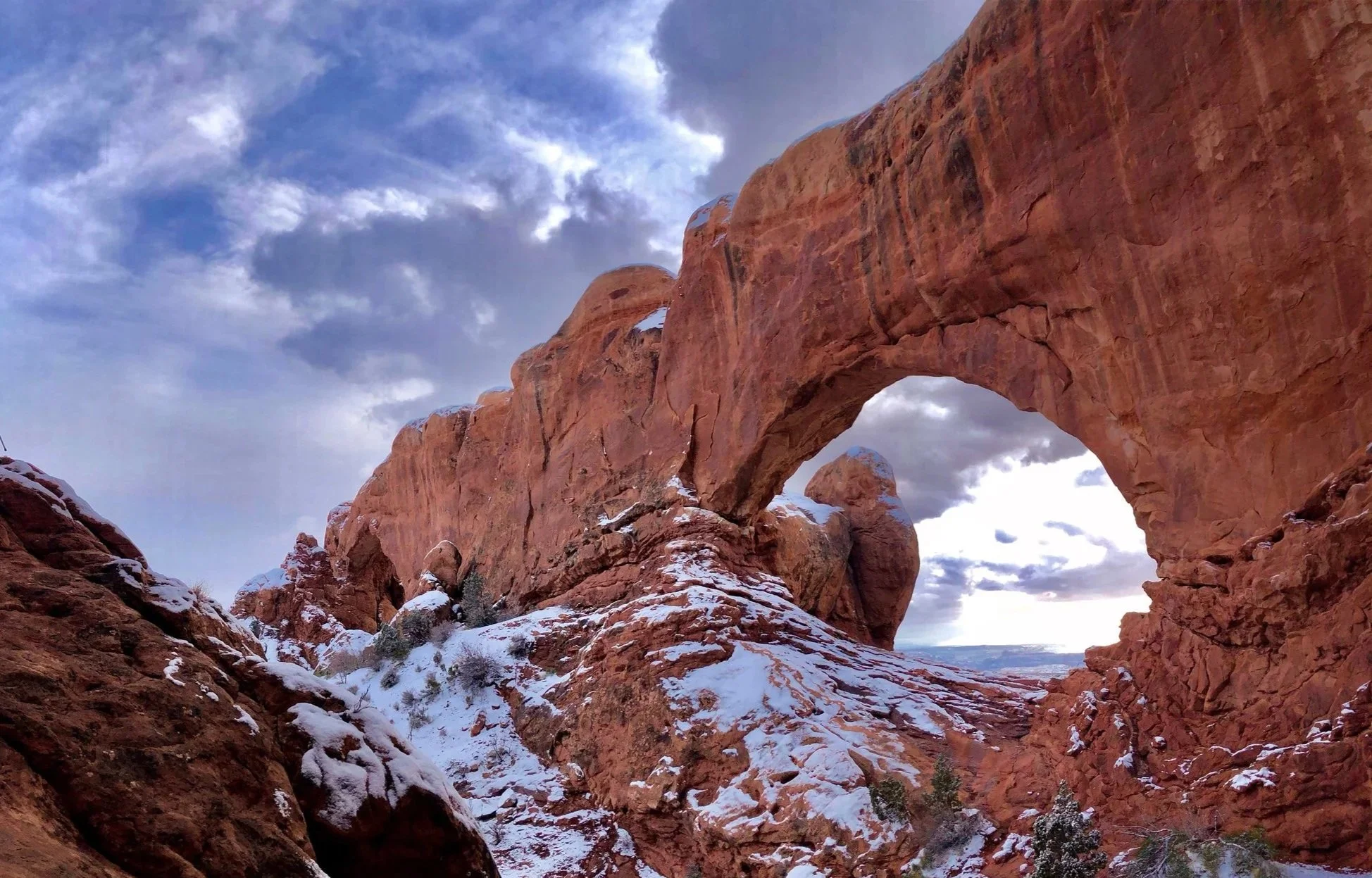
Arches National Park Guide - The World’s Largest Concentration of Natural Stone Arches
Capitol Reef National Park - Utah’s Hidden Treasure
Ultimate Guide to Visiting Zion National Park - A Landscape Dominated by Steep Red Cliffs & The Virgin River
Zion National Park - How to Spend 5 Days Without the Crowds - The Itinerary You Need